“Preserve and cherish the pale blue dot, the only home we’ve ever known.” — Carl Sagan
Insights at the intersection of Earth observation, climate resilience, and open science.
Practical, grounded support for people working on complex problems in science, data, and public service.
Mission focused insights
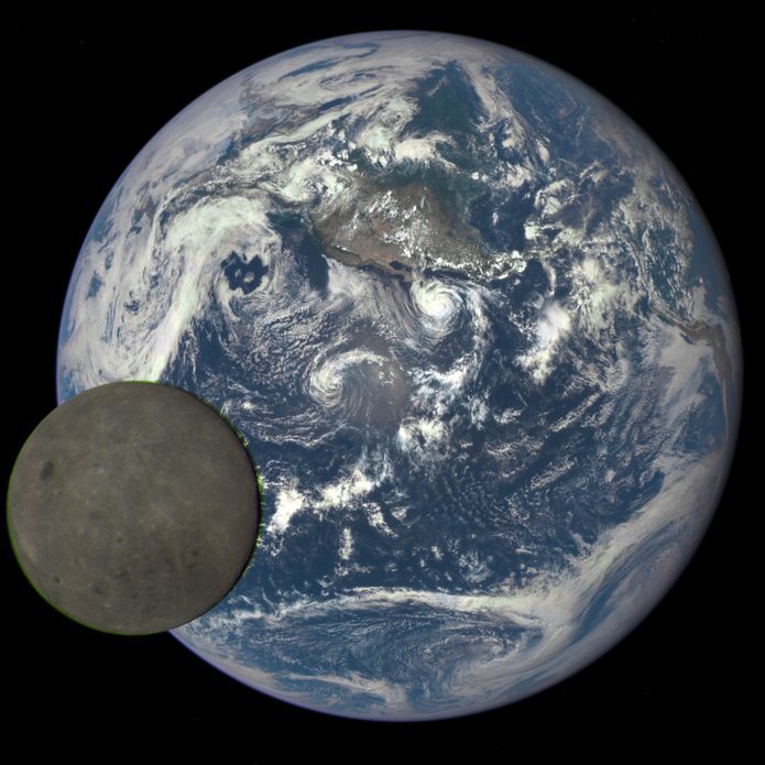
Moon in transit as seen from Lagrange point 1. Credit: NASA Earth Polychromatic Imaging Camera/Goddard Space Flight Center
Land Imaging – Instrument calibration, product development and validation.
Atmospheric missions – Archive management for sounder, precipitation and atmospheric chemistry mission data.
Airborne missions – Field campaign planning and support, calibration and product development for imaging spectrometers and synthetic aperture radar instruments.
Data Systems and Technology

Modeled stratospheric polar vortex. Credit: NASA Global Modeling and Assimilation Office/Goddard Earth Sciences Data and Information Services Center
UI/UX – Visual search and discovery, deployment of AI support technologies.
Cloud deployment – Archive migration, analytic services to aid third-part tool development.
Stewardship – Best practices for ensuring FAIR data management principles at NASA and USGS data archives.
Climate Resilience and Policy Development

Atmospheric carbon concentration map of the western hemisphere. Credit: NASA Scientific Visualization Studio/NASA Global Modeling and Assimilation Office.
Open science – Open source policy development, implementation of open science tools and best practices.
Climate Data Initiative – NASA lead for interagency climate data and tools in support of climate resilience planning.
Technology exchanges – with Tribal and international partners, including training and workshops.
